This morning’s quest had its roots in our discussion Saturday about how we might access the upper section of the Abington Trail more directly than from within the park or from the end of Lily Lake Road. It would be a quicker hike—not that we try to avoid hiking, but most mornings I don’t have as much time before work as I would like—and would get us to our prime “squirrel woods” more efficiently.
My first thought was to park at the new gravel lot along Lily Lake Road that is intended for access to the Meadowsweet Preserve, but the maps and satellite imagery made it pretty obvious that that particular trail would lead us only in a roundabout way to the squirrel woods. It certainly would not be any quicker than using our typical access points (although I still am extremely curious about this trail for other reasons). Then on the State Park map, Rich noticed a trail labeled “Quarry Ridge Trail” that appears to link to the Abington Trail very close to the squirrel woods and also appears to have an access point on Lily Lake Road. It was definitely worth checking out, even though we could not discern any kind of a trail on the satellite image.
This morning we drove back and forth on Lily Lake Road past the supposed intersection point about five times. We saw absolutely nothing! There was no designated parking area and certainly no room to park on the shoulder, no signs, and nothing to indicate a trail was anywhere nearby. Confused, we began to suspect that something was amiss, perhaps on the map. We decided to hunt in the Bull Hill section and speak with the park ranger later on about possible access to this Quarry Ridge Trail.
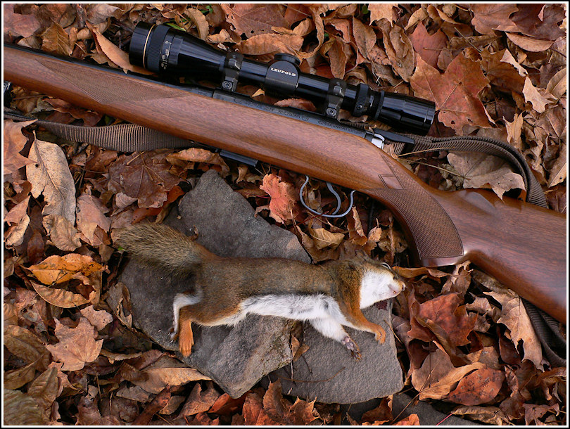
The Bull Hill/Tree Line Trail section is always a nice area for hiking and hunting. Rich took the lower spot this time, where I usually see red squirrels among the evergreens, because I wanted to try the upper section along the stone wall. I wasn’t too surprised when he shot a red squirrel, but I didn’t see a single squirrel of any color all day. I did see several pheasant hunters with their dogs, and possibly one other squirrel hunter.
After about an hour, Rich moved to a higher section near some other stone walls bordering a farm field and I went deeper toward the woods, intending to eventually work my way down toward White’s Creek. I didn’t make it that far, but I did spot some baseball-sized puffball mushrooms that fascinated me. Unfortunately they were past their prime.
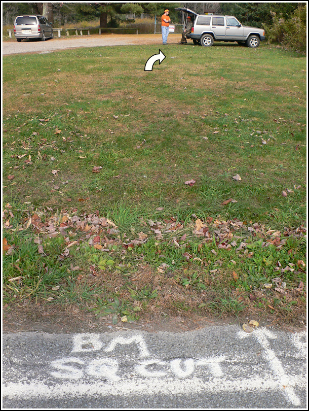
I’m always a little bummed when I don’t see squirrels (I don’t need to get a shot, let alone get a squirrel—but I like to see them), but I was thrilled that Rich got one. And our adventures were not yet over. We returned to the parking area by way of the road for the last hundred yards or so, and as we approached the turnoff I noticed the letters “BM SQ CUT” painted in white at the very edge of the road. About ten yards up into the grass, we spotted something white. It was a chiseled square cut in rock, outlined with white paint. I haven’t yet been able to find any reference to this mark on NGS, USGS, or PennDOT datasheets.
Before heading home, we stopped at the park office and asked about the mysterious Quarry Ridge Trail. Because it is not technically on park property, the ranger wasn’t obligated to know anything about it, and he didn’t. As far as he knew, it was either part of the Countryside Conservancy lands adjacent to the park (Meadowsweet Preserve is also) or perhaps a private easement given to the Conservancy by a landowner. He promised to ask a man who maintains trails for both organizations, and surprisingly, he later got back to us by e-mail. Unfortunately he had not discovered anything we didn’t already know: that there is no access point from Lily Lake Road, and that the map of Quarry Ridge on the Countryside Conservancy web site actually indicates a different area—the area between Meadowsweet and Lackawanna State Park. There is no mention of the supposed Quarry Ridge Trail shown to the west of Meadowsweet on the state park map.
We’re left to wonder if it’s a simple mistake on the map (the ranger admitted himself that “our maps aren’t known for being all that accurate”). We plan to grab a few waypoints from our maps and satellite images, hike to them, and try to determine for ourselves whether a trail actually exists in the supposed location. I really can’t wait!
