Sometime overnight or in the early morning, Rich suggested a route starting at the Anthony Wayne Recreation Area (part of Harriman State Park) and I agreed to it. Rich’s summary from an email to Dave, to follow, is excellent and I have little to add except a precise description of our route.
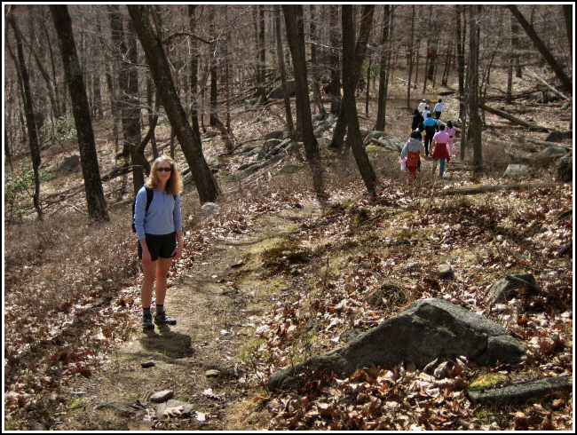
After spending a very splendid, enjoyable and memorable Easter Saturday climbing, hiking, eating and chatting, Z! and I reasoned that we needed an easy “rest day” for Sunday, but actually doing something other than lounging around the house. A short hike seemed just like what the doctor would order, so after returning home from the ‘Gunks that night I flipped through the “50 Hikes” guidebook you guys gave me for Xmas and picked out what appeared to be about right: a hike in the Hudson Highlands (now one of our favorite places) of just under 5 miles. At 8:30am (Oh, yes … we did cheat a little and slept in somewhat!) we headed out on I-84 east, arriving at Anthony Wayne Recreation Area around 10:15am. The sun was already shining brightly and the temps were beginning to creep up into the mid-50s. All in all, these were the makings of another gorgeous day, if maybe a bit cooler than Saturday.
This hike turned out to be much more significant than we had expected. First of all it was awesome! It had everything: it formed a loop so there were hardly any repeat trails; the trails, the terrain, and the scenery are extremely varied (this is the time of year to go when the trees are still bare) with plenty of rugged and intense climbs and a nice reprieve on an easier woods roads (XC ski trail) thrown in for good measure; numerous overlooks and plenty of open views along the ridge; fun rock scrambles, and much, much more than I could relate in a brief e-mail. At the end we felt as though the entire hike was longer than had been described! We felt nicely “whipped” on the drive over to a Friday’s restaurant in a nearby mall, where the Guinness on tap was, oh!, so welcomed!!!


Our route:
From the decrepit parking lot we followed the Anthony Wayne Trail northeast to its intersection with the Fawn and Timp-Torne Trails. We took the Fawn Trail east toward the A-T, on the way spying the Perkins Memorial Tower on Bear Mountain to the north. We made a note to visit the tower and check out any nearby survey marks soon!
A short hop on the A-T and we were branching off again onto the long, open, winding Doodletown Bridle Path, a former Doodletown “highway” that’s now maintained for skiing. We gained some elevation as we hiked the road, but it wasn’t till we merged onto the yellow-blazed Suffern-Bear Mountain Trail that the serious climbing began.
The trail led us on a steep, lengthy ascent up to the summit of West Mountain and being out of shape from the Winter, we were definitely “suffern”.
Shortly after reaching the less-than-impressive summit, we came to a ledge with a nice view of the valley, nearby mountains, and the river in the distance. (The ledge was already occupied by a couple from Brooklyn, but we waited them out and soon claimed it for ourselves.)
After a snack and a brief but relaxing rest, we continued southwest to the T-intersection with the Timp-Torne Trail. Turning right (northwest) took us to the most constently level, and outstanding, portion of our hike. We were hiking along the western ridge of West Mountain, on open rock ledges with wide views allowing us to see as far south as New York City!
This trail continued northwest, featuring some tricky rock scrambling and a surprise “lemon squeezer” along the way, to the intersection of the Fawn and Anthony Wayne Trails, where we had begun our hike.