This afternoon Rich and I were on our way to a picnic at Lake Spangenberg, not far from Lake Ariel. I use such opportunities to seek out survey marks that we haven’t yet searched for … and of course there were a few on the list for today!
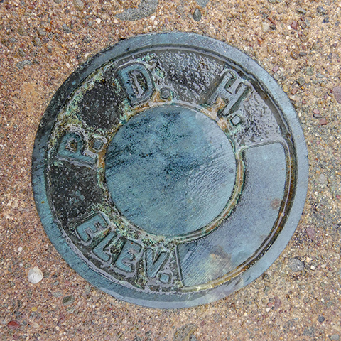
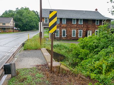
The first one we attempted was 37 DSW, right in the town of Lake Ariel, which we reached by winding back roads after coming over the mountain on Archbald Mountain Road. This PDH disk is set in the wingwall of an old concrete bridge along Route 191. The bridge passes over the aptly-named Ariel Creek.
The disk was easy to find and appears to be in good condition, but there’s still a bit of mystery here—I can’t really see the “37 DSW” that is supposed to be stamped on the disk! I think I can make out a very faint “3” but I don’t see any other signs of stamping. It’s clear this is the correct disk but I do wonder what happened to the stamping.
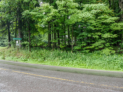
We weren’t quite so lucky with 38 DSW, the next one on our list. The mark is supposedly set where Fernwood Road meets Route 196 at a T-intersection. It’s probably still in place, but the area is heavily overgrown and I couldn’t spot a boulder anywhere among the vegetation. Given the likelihood of ticks and poison ivy, I didn’t want to wade through the weeds to get a closer look. We’ll try again in winter.
We had two other marks on our list that are on the east side of Lake Ariel. The rain started up again while we were searching for 38 DSW, so we decided to leave the other marks for another trip, and head over to the picnic. We stayed longer than we expected, met up with my friend Elaine who was also visiting a cottage there, hung out with Dave, and ate awesome grilled burgers and other assorted goodies! Why can’t summer last all year?!


