Rich first drew my attention to triangulation station FINN a few weeks ago, right around the time we started getting a craving for spiedies at Lupo’s. Unfortunately it has been raining nonstop since then, and we didn’t have a good opportunity for our spiedie-and-benchmark run.
But at long last, today would be the day! With the promise of a sunny day in the forecast, we headed out around 10:00am and made our way toward FINN. We didn’t have any real expectations other than to scout out the area, but there’s always the possibility of an easy find!
This time, an easy find wasn’t to be. We located the intersection of Decker Road and Spedding Road easily enough, and the area surrounding the coordinates is still an undeveloped corner. But it’s overgrown with weeds (fortunately not too much poison ivy) and the entire area is covered with layers of dead leaves. Additionally, it’s partially surrounded by a wire fence and we could not walk straight to the coordinates. We probably could have entered through an opening Rich found to the north, but we would still need a metal detector to find the disks. All three disks are near or at the level of the ground and are now quite obviously covered by leaves and other debris.
The area is posted property but the posters include the owners’ names, of which I made a note, so we can attempt to contact them if we want to try for this mark again in the future. There’s no real way we could be discreet while searching here, so it would be best to have permission ahead of time.
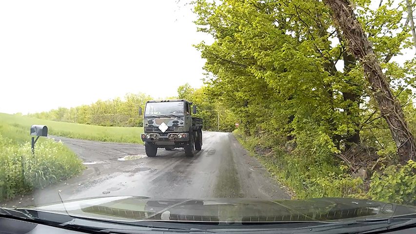
After our quick search and realization that we would not be finding FINN today, we continued on our back roads route toward Endwell, NY. Just before reaching the end of Creamery Road, three guys in a Unimog came toward us! Pretty cool!
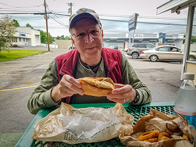
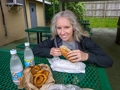
The spiedies were awesome as always—best when fresh, but we also enjoy them for a few days afterward at home since we bring home a few pounds of the raw marinated meat for Rich to grill up. Some dark clouds rolled through while we ate, but the day remained warm and dry.
I had one last idea in store for Rich. I wanted to check out the site of a USGS bench mark I’d seen on the topo map near the Binghamton Country Club. The map shows “BM 1006” in the northwest corner of the intersection of Robinson Road and Country Club Road in Endwell. I don’t have any USGS descriptions for that area, so we would just have to go to the location to see if we could find anything. When looking at Google Street View I had spotted something round and benchmark-disk-sized on a culvert at the intersection, which was promising.
Unfortunately, when we got to the site we discovered that the disk I had seen in the Street View was a “drains to river” placard and not a benchmark disk. The area was a residential neighborhood and when we parked so I could take a look around, a man immediately began to walk toward me with unrestrained dogs. We decided it was best just to leave. If I can get the benchmark descriptions for this quad, we might try again on another spiedie run.


