We found ourselves looking for a light breakfast this morning, so our first idea was to get bagels or pastries as usual. But it was a chilly and extremely foggy morning and we both felt it would be much nicer to sit inside, but we still wanted something light rather than a standard large sit-down breakfast. We decided to try the Sunrise Cafe on the dock for crepes. They were fantastic!
I had the blueberry crepe, filled with about a pound of wild Maine blueberries, and Rich had a savory crepe with egg, cheese and crispy bacon. That was great too—it tasted like a very well made egg sandwich, just inside a crepe rather than on a hard roll or English muffin. The tiny cafe was cozy and warm, and quite a few people stopped by for a snack or a hot drink while we were there. It’s family run, and it was easy to see the care they put into everything they serve. It’s only their second year of operation (we didn’t know about them last year). We hope they do well and stick around—we’ll be back!
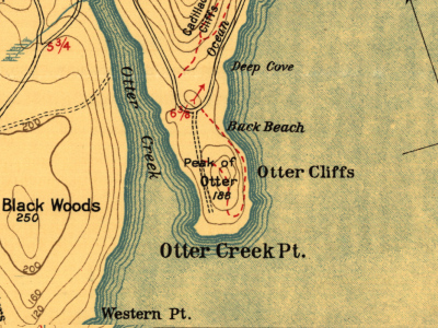
Today’s exploration plan was to take the bus to Otter Cliff Road, where we would explore the old abandoned road to Otter Point. When we were done, we would take the bus a short distance to what we suspected was the entrance to the trail that leads to the Otter Creek swimming hole and ultimately joins up with the Potholes trail.
Our bus driver had a little trouble understanding that we wanted to get off at the first intersection with Otter Cliff Road and not at the Fabbri picnic area, where the bus again merges onto Otter Cliff Road. We gave up trying to explain and just got off the bus at the picnic area. It worked out just fine, though. The point we were aiming for was about halfway between, so the walking distance was the same—it’s just that we spent a little more time on the bus than we had wanted to.
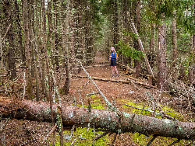
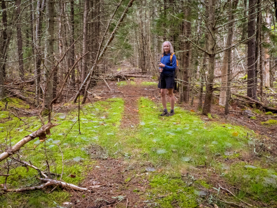
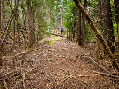
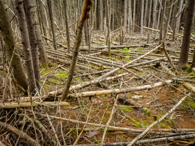
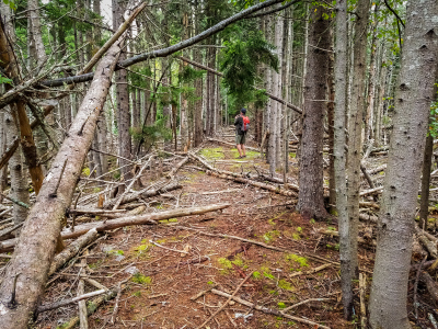
When we reached the coordinates I had approximated for the entrance to the old road, initially we didn’t see much of anything but trees and brush. But we moved just a few feet to the left and we could see through the open woods a clear, wide grade. That must be the old road! It was immediately apparent to both of us.
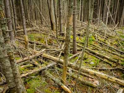
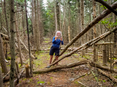
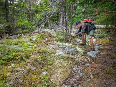
We were under the impression that the road once led up to the old tower at the highest point. We explored the high point a few years ago because the tower was once an NGS landmark station and we wanted to see what was left at the site. But the road kept going straight, toward the park loop road at the end of Otter Point, not toward the summit. What was going on? We couldn’t figure it out other than perhaps we missed a turn as we navigated our way through the many gnarled blowdowns on the road. We got to a point that was both about a tenth of a mile from the tower’s former location and a tenth of a mile from the parking area, and suddenly the wide graded road narrowed into a gently winding path. While Rich backtracked a bit to see if he could find a turnoff we’d missed, I went on ahead to follow the trail to its end and confirm that it met the parking area (it did). I came back to find that Rich hadn’t discovered anything. There was simply no sign of a road leading to the high point!
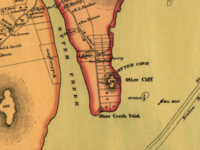
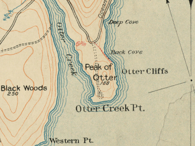
Later this afternoon, once we were back in our room, we did a little more research. I found that the road appears on an 1887 map of the island, so it has been around at least that long. The 1887 map shows the road going straight south toward “Otter Creek Point,” but it also shows a spur road or trail going up to the high point. The 1896 and 1911 Path Maps are an interesting contrast: while they both show the road heading straight south, on the 1896 map there is no sign of a road or trail to the high point, while on the 1911 map there is again a trail from the road to the high point (and then continuing around along Otter Cliffs). Google satellite view (using the “map tilt” option) clearly shows the road, and it also appears to go straight through, with no sign of any path, past or present, leading to the high point. We were thinking the road served the radio station and the tower on the summit but perhaps it predated them and wasn’t connected at all, or only incidentally?
Just because I refer to them so often, I’ll also provide links to the full maps here:
1887 Map of Mount Desert Island
We also found the following description of the area in Moses Foster Sweetser’s Chisholm’s Mount-Desert Guide-book (1888):
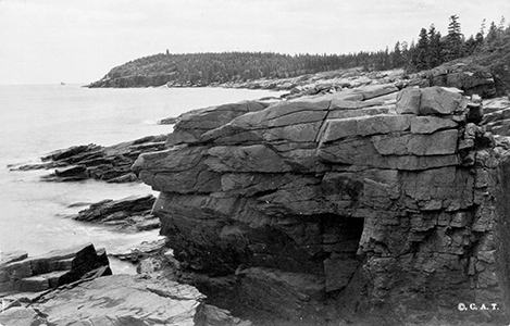
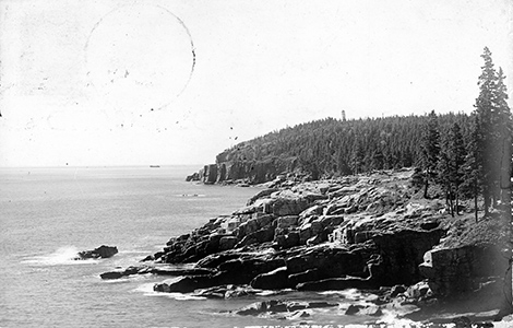
Otter-Creek Point is over a mile long, between the sea and Otter Cove, and rises to a height of 188 feet, covered with woods, and fronted on either side by noble cliffs. A little way off-shore is a lonely spindle; and farther out swings a bell-buoy, with its perpetual melancholy music of warning. A mile inland rises the Peak of Otter, a wild foot-hill of Newport Mountain. […] Beyond Otter’s Nest, the summer-residence of Lieut. Aulick Palmer, of Washington, a road runs on to the end of Otter-Creek Point. Unless it is nominated in the bond, the buckboard drivers oftentimes decline to drive out over this noble road. On the western side of the point is a notable cavern, near which the natives have dug a deep pit, in the search for Capt. Kidd’s buried treasures.
Palmer’s property and the bell buoy are shown on the 1887 map. Palmer’s “Otter’s Nest” is where the current Fabbri Memorial stands. What is unclear is whether this road was connected in any way to the U. S. Navy Radio Station at the site. An extensive archaeological survey of the site was conducted in 1983 but as far as I can tell, most roads referred to in the survey are other roads, not the one leading south to the point.
In any case, we know that it’s easy enough to get to the high point from the Otter Cliff Overlook parking area. It’s a pretty tame bushwhack of a few yards through open woods and across ledges. As I said earlier, we did this in 2012 when looking for any remnants of the OTTER landmark station at this site. This year, we were hoping to find a connection to the high point from the old road. Although it seems from the maps that such a connection once existed, it’s either overgrown now, or we simply missed it.
Back on the old road, we decided that we’d follow it out to the parking area and wait for the next bus. It was going to be a while, we learned when we got out to the road and checked the schedule, so we just started taking a nice slow walk toward the Fabbri picnic area. The bus arrived at the picnic area a few minutes after we did, and we hopped on for a very brief ride to our next destination—the old trail we had spotted at the end of the guardrail in Otter Creek. Could this be one of the two long-sought connections to the Potholes from Route 3? It sure looked promising, especially considering that the location seemed to match up with Karen Zimmermann’s Otter Creek map.
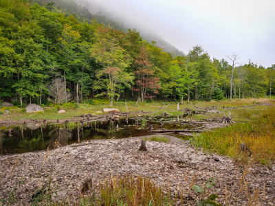
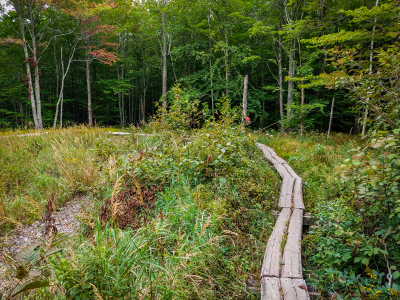
By now I was starting to think that next year they’ll have our pictures posted in the buses saying “warning, these people are always asking to get off and on the bus at really weird places!” ![]() We exited the bus right at the end of the guardrail and headed down the trail. It descends quickly into deep, dark woods and was slippery on this misty, foggy day, but soon it reaches the level and stays there as it works its way closer to and then along Otter Creek. There was just one point where we were distracted by a blowdown and didn’t notice at first that at this point we were to cross a small brook. Once we discovered this we were on our way to the swimming hole!
We exited the bus right at the end of the guardrail and headed down the trail. It descends quickly into deep, dark woods and was slippery on this misty, foggy day, but soon it reaches the level and stays there as it works its way closer to and then along Otter Creek. There was just one point where we were distracted by a blowdown and didn’t notice at first that at this point we were to cross a small brook. Once we discovered this we were on our way to the swimming hole!
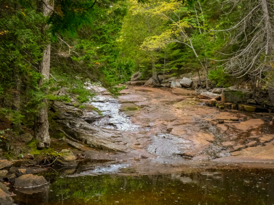
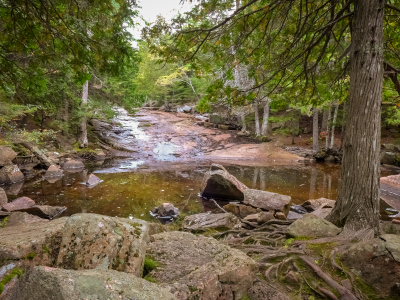
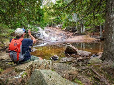
This is a really beautiful spot with a long rock slide into what are probably deep, clear waters on a normal (not dry) year. And from here, it was only a few hundred feet before we met up with the points we had marked from our earlier exploration of the Potholes trail and Dorr Mountain South Ridge extension! It was so cool to be able to link up the trails.
We crossed Otter Creek easily since it was quite low, and then followed the Dorr Mountain South Ridge extension path to Canon Brook and then out to the highway. It was a quiet peaceful walk, chilly but so intimate on such a foggy day, and I never wanted it to end. I kept saying to Rich—please don’t make me go home! I can’t believe it’s already our last day.
We got even chillier as we waited by the side of Route 3 for the bus. It eventually arrived and took us back to the Village Green. By the time we were back in our room, we were thoroughly chilled and looking forward to another warm and wonderful dinner at Red Sky!
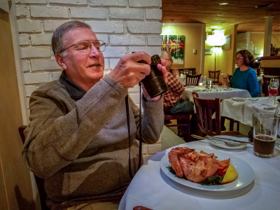
And it was wonderful indeed. We started with the usual beers and bread, and a small spread of garlic, chickpeas and goat cheese on cucumber rounds. Then Rich had the “Dave Maher special”—the crispy polenta with mushrooms and he FINALLY ordered the chicken that he always says he’s going to get but is always enticed by something else instead. I ordered the smoked lamb taco and the same awesome pasta dish I got on Thursday night. We didn’t have room for the gingerbread for dessert, but we did try the mango hibiscus sorbet. We both enjoyed it, but I think I liked it better than Rich did. We enjoyed a nice slow ride back through the fog listening to one of our Maine music classics, Yanni’s Live at the Acropolis.


