What the hell kind of post title is that?!, you’re probably asking. It’s a recursive acronym that developed in stages, like this:
- Last weekend, finally try the ribs at the Waymart Hotel BBQ pit.
- Really, really enjoy the ribs and think (and talk) about them all week.
- Via e-mail, ask Rich what he wants to eat this coming weekend.
- Receive the reply "R.I.B.S."—written that way, I assume, as a form of emphasis.
- After a glass of wine, realize this could stand for Ribs In Barbecue Sauce.
- Later that night, realize that Saturday's planned activities could be encapsulated in this acronym, with one small adjustment (R.I.B(M).S.).
And so the day’s activities were set: benchmark hunting, followed by a feast of BBQ ribs!
Last year’s Waymart-area benchmark hunting focused on the area south of Waymart. This year we knew we’d have to expand a bit, and we decided to go north and northeast.
The first station on our list was a transit traverse (TT) station from 1932. We find that TTs are usually set in interesting locations, but this one was especially intriguing because the USGS datasheet indicates that it was accepted into the NGS database at some point, but we can’t find any evidence that NGS knows anything about it.
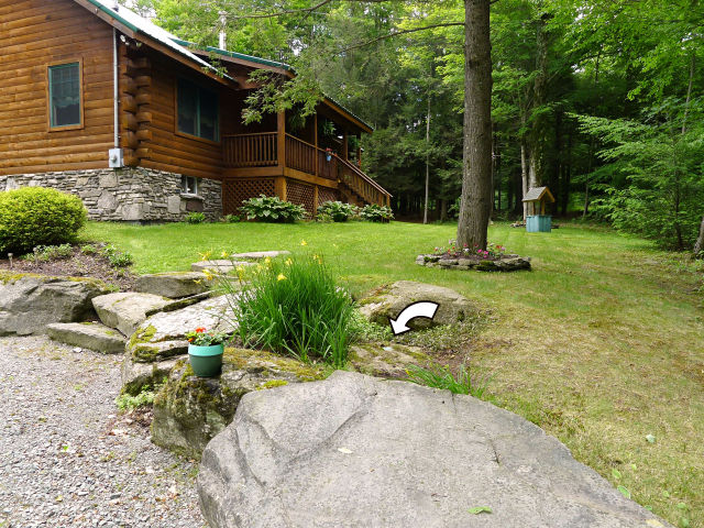
We spent the first ten minutes poking around in the weeds alongside Elk Lake Drive. It was apparent almost immediately that none of the obvious boulders held the mark. Dad and I entered the wooded section just off the road to check for more boulders, and then we spotted the cabin set back from the road—and heard a dog barking. We didn’t see any other signs of life so we returned to the car. We were driving away when we saw a man walking around behind the cabin! Rich pulled the car into the driveway and we hoped for the best.
Fortunately, we met a very friendly man with some feisty dogs barking from the cabin windows. They were so excited and barking so loudly that I missed about half of what the man was saying, but dad had a pleasant conversation with him while I took my photos and documented the condition of the mark. The man seemed satisfied to learn more about the mark, and when I told him what a treasure he had in his yard and how happy I was that he had protected it, he joked, “Well, if it had been up to my wife, all of these boulders would have been gone a long time ago!”
So mark #1 on the list was a success: a find in good condition, a pleasant encounter with a landowner, and a chance to teach him a little bit of history about that odd marker on his property.
The attempt for mark #2 (34 M) in Aldenville was basically a drive-by. When we saw the height and density of the weeds (and poison ivy) in the field and no projecting boulder in the area, we passed right on by. We’ve kept it on the list for winter.
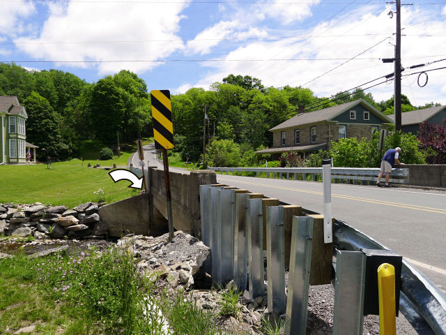
As we’d suspected, 35 M is long gone. It was set into an old bridge on Route 247 that was replaced about ten years ago. In its place (or very nearly so) is a new PennDOT survey control mark. Not too exciting, because as far as I know PennDOT doesn’t accept recovery notes, but I document these marks anyway. USGS has a stream gauging station at this site. It’s just a hive of geo-related activity!
Next up, 33 M. 33 M had the potential to be an easy find, until we arrived at the site and found that what had been a rocky pasture in 1942 is now dense, brushy forest.
We had two good reasons for not trampling through the brush. Wayne County is the poison ivy capital of Pennsylvania, as far as I can tell. And Pennsylvania is pretty much the Lyme-disease-carrying deer tick capital of the country. And then: “I just saw a snake!” Dad exclaimed, “I’m not going in there.” Make that three reasons. (Although I, personally, really like snakes.)
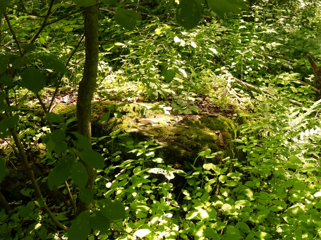
But probably against better judgment, I couldn’t stand being so close to the coordinates and not at least trying. We found a large boulder near the road that at first looked like a good candidate. Most of the top surface was clear of moss and we could tell that there was no disk set in this nice, big, easy-to-access boulder. About ten yards further into the woods I spotted another boulder, flat and nearly level with the ground. I stood on top of the large boulder and thought I could make out a curved shape surrounded by a stripe of white—what appeared to be a disk set in cement. I fought my way to it and indeed, it was 33 M!
The Stonewall Inn mentioned on the datasheet is still standing. It’s a private residence now, but the owners have a sign “Stone Wall Inn” over their front door. The dirt road referred to in the description is Johnson Creek Road (and it’s still dirt).
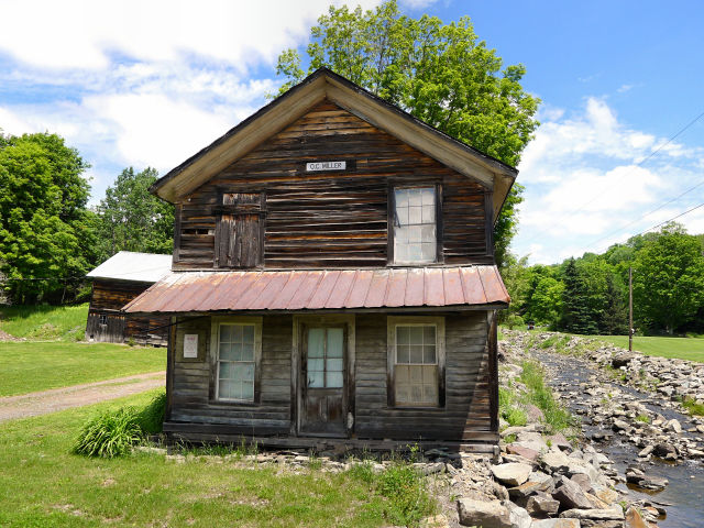
Near the Stonewall Inn is a small, old bridge crossing a creek. I had to check it out—and I wasn’t surprised to see a P.D.H. (PA Department of Highways) disk set into its east wingwall. The disk is stamped with a new PennDOT designation. And next to this bridge was another neat old building. A sign indicates that this was the O.C. Miller house, whoever that was. I would love to know more about it!
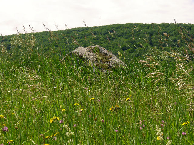
Finally, we’d had just about enough benchmark hunting for the day so we made our way to Waymart, with just one more stop along the way to scope out the area around 36 M. This was nearly a repeat of 34 M: high grass, poison ivy, and keep it on the list for winter. The only difference? In this case there is an obvious boulder.
Those R.I.B.S. (and onion rings and cole slaw and baked beans and beer) were a taste of hog heaven for the three tired and sweaty benchmark adventurers.
Oh, you thought there would be a photo of the ribs? Sorry, too much BBQ sauce on fingers, and they were gone in a matter of minutes anyway. Maybe next time!
