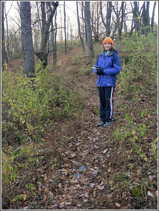
Time to begin unraveling our latest mystery! We decided to leave the squirrels for another day and hike in the “no hunting” Countryside Conservancy lands along the southwestern border of Lackawanna State Park. We parked in the gravel lot along Lily Lake Road and began our hike in Meadowsweet Preserve.
Basically following the blue path and then switching to the green as shown on the Conservancy map, we hiked along switchbacking singletrack, a mucky open farm road (although I think we momentarily left our intended path here), an old woods road, and back to singletrack before eventually joining up with the Abington Trail in the state park. We discovered that while the trails as displayed on the Conservancy website are relatively accurate, the boundaries are vague: signs on site seem to indicate that Meadowsweet actually extends to the southern border of Quarry Ridge, so that the two preserves are adjacent. This is unimportant, except that we thought we might have been able to hunt in the unclaimed area we expected to find between the two preserves. That was not to be.
Once in the park, we hiked westward along the familiar Abington Trail toward Rich’s Riddler’s Revenge cache (my first-ever find, by the way). Somewhere along the way, we hoped to find a trace of the “Quarry Ridge trail” that the new state park maps indicate. The woods here are relatively open, and we searched as we hiked. We saw absolutely no indication of a trail adjoining the Abington Trail. I was disappointed, but not at all surprised.
To investigate the area even further, instead of hiking back the way we’d come we decided to pick a waypoint along Lily Lake Road and hike out toward it in a relatively straight line. The hope was that if any trail existed in the wooded section beyond the park boundary, we’d see some sign of it or possibly even cross it on our way out to the road. Again we found nothing. What appears on the satellite image to be open woods is actually quite thickly overgrown with branches and brambles, so we ended up hiking along the edge of the field just west of where we wanted to be. But it was enough to nearly convince us that the park map is incorrect.
We had an easy walk of just over half a mile back down Lily Lake Road to the car. It was a fun and somewhat productive hike on a beautiful morning! I am already certain we will come back to Meadowsweet with our mountain bikes … on a nice warm summer day.