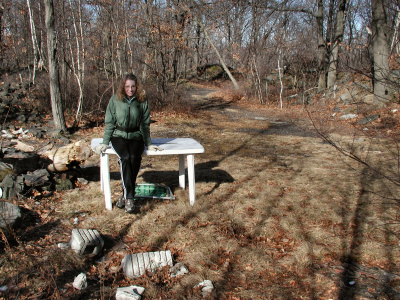
On this sunny, relatively warm (for January) Sunday, Rich and I decided to investigate some areas on Archbald Mountain in search of a potential mine opening. From various sources we are aware that at least a few small openings still exist in our target area, and Rich even remembered discovering one while mountain biking years ago. Today was the day to test his memory.
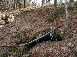
We hiked from the circle at the northeast end of Sunnyside Road along black roads and powerlines to a trail that cut sharply off to the right and ascended a hill. Rich knew the mine was somewhere in this area. Based on his memory and intuition we first searched the area to the right of the trail, but found nothing. He then crossed over to the other side of the trail, entered the woods and walked almost immediately to the mine opening. Amazing!
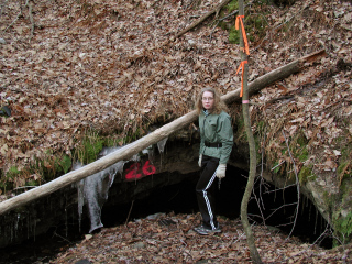
The mine opening is tagged with a fluorescent pink number (26 in this case), as are other openings in the area. We crouched down to peer inside, but our little lights were barely enough to see a few yards in along the walls. Currently this mine is very wet and cannot be entered.
We then followed the trail east to the top of the hill, where it dead-ends. After a short bushwhack southeast, we were back on the powerline and heading back toward Jessup.
Thanks, Rich, for the photos, and the stories of how these roads and trails were all connected in the past! I wish I could’ve seen and explored this area back then.
