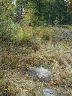
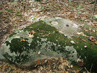
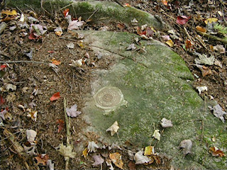
I’ve been excited about today’s hike for quite a while. These tri-station hunts are always my favorites! The search for PINE would take us to a section of the Delaware State Forest just northwest of Promised Land State Park, and fittingly very close to Pine Lake (which I assume is the station’s namesake). We began by hiking northeasterly along a trail that we had identified from aerial imagery and that looked like it would take us close to the mark. We passed some deer exclosures and the trail turned right toward the east, and headed straight for the small hill on which PINE sits. We found the station mark easily, and used the description to lead us to the reference marks; we had a slightly harder time finding RM 2, which was covered by a thick mat of moss that we had to roll back from the surface of the boulder.
After achieving our main goal for the day—a successful recovery of nearby triangulation station PINE—we stopped for a few simple benchmarks on our way back to the Interstate: M 234 and H 234.
M 234 is located just across Beaver Dam Road from the trail we took to approach PINE. We spotted the right boulder from the road and walked directly to the mark, which was exposed and in good condition. The description is accurate except that Beaver Dam Road is T 389 rather than T 380.
H 234 was a relatively easy find, though we stood on top of it for a minute before we noticed it was at our feet. While we photographed the mark and checked the reference objects, a man who’d been using a Bobcat nearby to clear brush approached Rich to ask what we were doing on his land. He was friendly and seemed at least mildly interested in our explanation of benchmarks. He was surprised that he had never noticed the mark, having owned the land for years. Eventually the man went about his business and we finished up our measurements. We measured a slightly different distance from the centerline of Beaver Dam Road (noted in the official recovery) and took a measurement from the nearest pole (BT Co. 19/A-7/A-8) because the one mentioned in the 1959 description no longer exists (the landowner confirmed that the poles were replaced several years ago). We did not locate the trees that were originally used as reference objects.


