Having already obtained permission to search for marks on Blooming Grove Hunting Club property, I was anxious to get started on some of the tri-stations in the area. We parked at the end of the gated woods road at its intersection with Route 402 and hiked the woods road toward the station.
After only about 100 yards, Rich happened to look into the woods to our right, and he noticed the azimuth mark set in a boulder just off the side of the road. With this part of our search complete (although somewhat by accident), we set off to find the station and reference marks.
Another few hundred feet up the woods road and then directly southwest into the open woods brought us directly to the witness post, from which we measured and dug to unearth the station monument and mark.
The reference marks were similarly straightforward to locate following the original description.
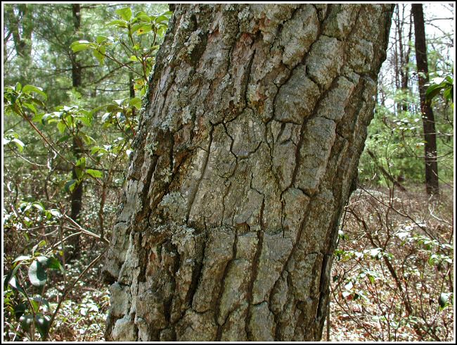
We searched for and, surprisingly, were able to locate the blaze on one of the old oak trees about 26 feet southeast of the station! The cut blaze is faint, but still distinguishable as a triangle. We photographed these marks and took relevant measurements, and then retraced our steps back to the azimuth mark where we did the same.
Our successful recovery of BLOOMING was followed by a quick search for G 237 just alongside Club Road, the main entranceway to this section of Blooming Grove Hunting and Fishing Club property. The description’s statement that the station is “east of the centerline of the gate to the entrance of the club” is incorrect. The station is actually northwest of the centerline of Club Road; we measured the distance at 31.5 ft. The mark is approximately level with the road.