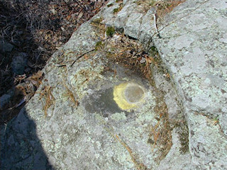
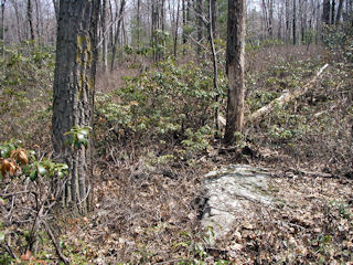
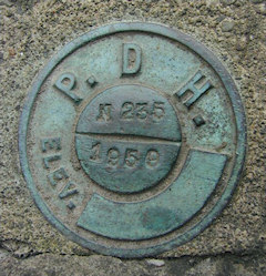
We returned to the Blooming Grove area today to search for a few benchmarks, some of which had eluded us in the past.
After digging unsuccessfully for LY2678 RM 2 nearby at High Knob, Rich and I decided to work some more on the 235 series. Q 235 sounded like an easy one; we figured it would be hard to miss a 24’ x 18’ boulder. When we stopped at the woods road leading west from the highway, though, we saw no evidence of a boulder of that size. We noticed that the description mentioned a “track road east” rather than west, so we crossed the highway to search. The boulder and mark were then found immediately. We concluded that the description is in error and should state that the mark is east of the highway, not west.
Following our success at Q 235, we worked our way north on Route 402 to search for P 235. This was a relatively straightforward find, although several references on the datasheet needed to be corrected. We had plenty of measuring ahead of us! The “dim trail road” mentioned in the 1959 note can no longer be discerned, so we measured a perpendicular distance from the road centerline to the mark. That distance was found to be about 58 feet. We also were unable to find a powerpole marked “X 15” (indeed, there is no longer any pole where “X 15” is described to have been). We did find two marked poles on the western shoulder of Route 402, one north of the mark and one south, that could be used for rough measurements. We measured the distance between each pole and the point on the line between the poles directly west of the mark; measurements are given below. I was excited to find the letters “BM” painted on a tree just a few feet from the mark!
Our final find for today, N 235, was a challenge to photograph. I’d avoided it on previous excursions due to its proximity to rushing traffic and the fact that there’s very little room to stand next to the bridge, atop the steep bank down to Blooming Grove Creek (not Egypt Creek). Today, Rich and I were ready. We parked at the Good Shepherd Church, walked to the bridge and hopped over the guard rail. Recovering the mark was easier than I’d expected, but I did need to hang onto a sign post while stretching my other arm in front of me to take a photo of the mark.
I was excited about this mark because it would provide the link between part of the 237 line stretching through Promised Land State Park to the boundary of Blooming Grove Hunting and Fishing Club property, and the 235 line (running along Route 402 and Lake Laura Rd.) We first searched for this mark on December 29, 2003, when we had to contend with a light dusting of snow on the ground. We could not find any evidence of the mark or the rock in which it was supposedly set, but we assumed our failure was due to the snow and we resolved to return in the Spring.
April 17 was the day of our return, and this time we rode in on our bikes, which gave us the advantage of being able to measure 1.8 miles along Lake Laura Road from its intersection with the highway. We did so and ended up at the very intersection we’d searched in December. Even without snow on the ground, the task was a difficult one and though we probed the ground and scraped off rocks for well over an hour, we could not find the mark. It is evident that the road has been graded and possibly widened since the mark was placed. The mark may have been destroyed at that time, or may still exist but simply be covered by excavated material.


