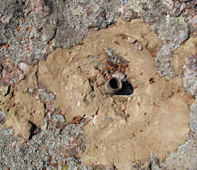
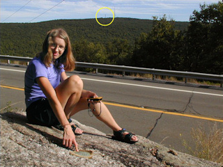
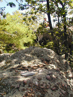
On a whim, before mountain biking at nearby State Gamelands as we’d planned, Rich and I decided to attempt to locate the THORPE station and reference marks. It was a simple matter to follow Route 903 to Maury Road and then to park at the bottom of Fire Tower Road. This road is blocked to cars by a locked gate, so it was fortunate that we had our bikes with us for the 1-3/4 mile climb to the tower. Once at the coordinates, though, we were disappointed to discover that the station disk is missing, having been pried off. Nothing but the stem, embedded in the boulder, remains. Both reference marks were located easily, and they are both in fair condition. Before leaving Bear Mountain, we photographed the fire tower as well as a Carbon County GPS survey station mark that Rich located on another of the enormous boulders, not far from station THORPE. The azimuth mark, located along Route 903, was found later in the afternoon. The disk was easy to spot; finding a safe place to park was more difficult than locating the mark. This disk is in excellent condition. Interestingly, the fire tower can be viewed from the azimuth mark.
SEP
7
2003
MOUNTAIN BIKING •
SURVEY MARK HUNTING


