Today Rich and I returned to the state park to look once more for Rich’s geocache, “Cozy Squirrel Lookout.” We knew from last week that the first part was gone, or at least we couldn’t find it. But we thought that if the cache itself, at the final location, was still in good shape we might consider resurrecting the cache listing for another year or so. Unfortunately it wasn’t to be. We had the correct coordinates this time and walked directly to the spot, but the cache container (which had been an ammo box) was nowhere to be found. With heavy hearts, we decided to let this one go. It was a difficult decision because this was one of the oldest (and best, in my opinion!) geocaches in this part of the state.
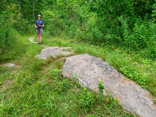
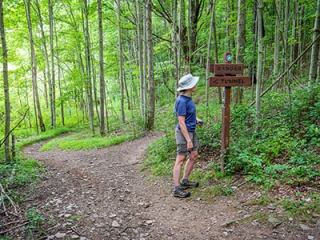
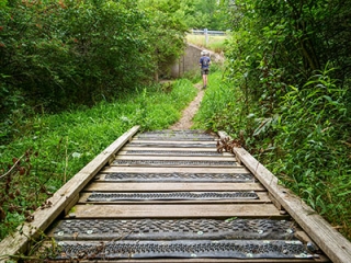
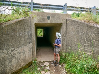
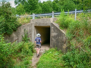
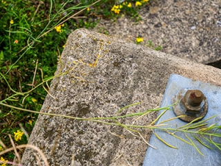
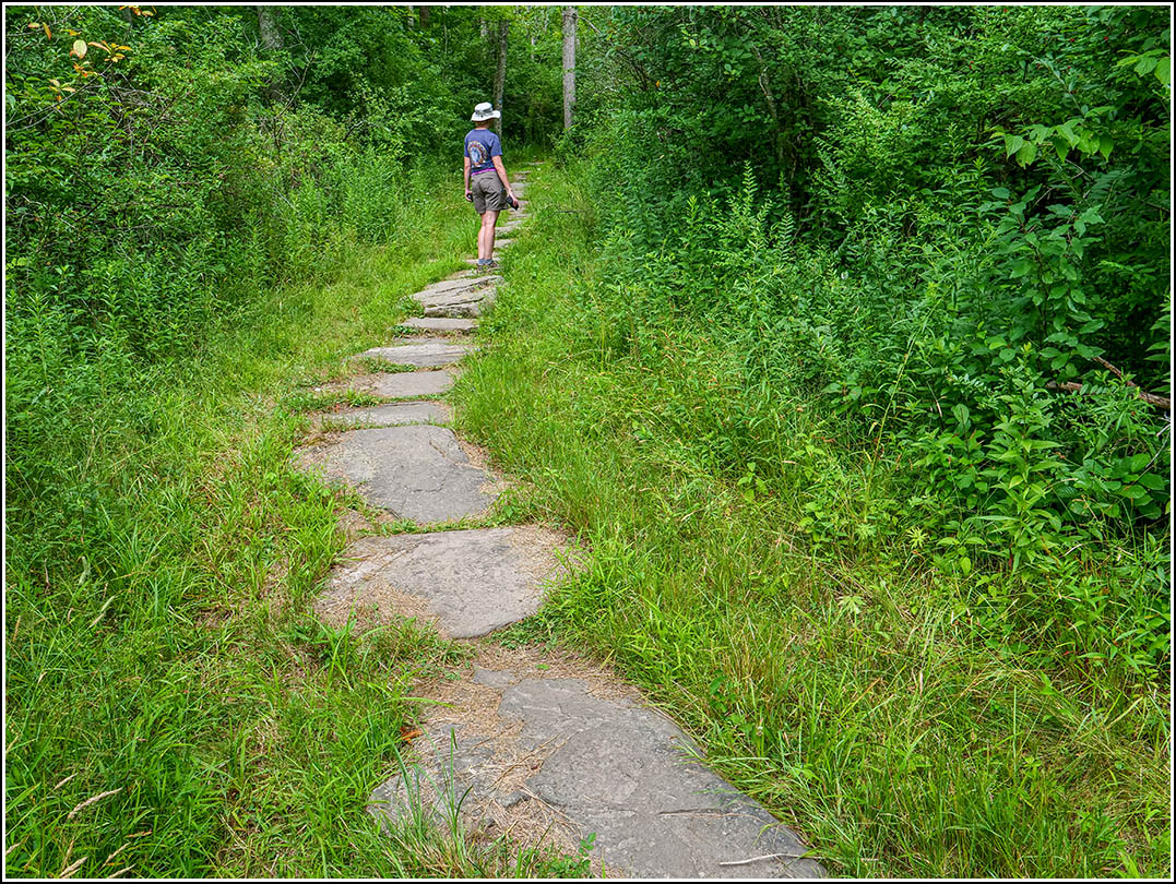
We did enjoy a beautiful, if very jungle-like, hike on this humid day. Choosing the opposite branch of the Turkey Hill Trail from the one we usually take, we came across some nicely laid paving stones that made the trail even prettier for a stretch. After our unsuccessful search for the cache container, we came back down the Turkey Hill Trail and crossed over at what is signed as the “Devil’s Fork” to a tunnel that passes underneath Route 407. This has probably been part of the park’s trail system for a few years, but we never knew about it until I saw something labeled “Tunnel 407” last week on a map! It appears to be an old PDH box culvert or cattle crossing that was converted to a tunnel for easier access by hikers and mountain bikers to the trails on opposite sides of the state highway. We even found an old chiseled square on one of its corners.
Geocache page: Cozy Squirrel Lookout