We got a slightly later start than usual on this clear, chilly morning. After last night’s feast we were looking for something simple for breakfast, like a pastry or roll from Morning Glory, and we knew they don’t open until 8:00am on Sundays. That would work out fine anyway because we had hoped to go to the farmers market too, which begins at 9:00.
I’m a little skeptical of Morning Glory right now—while they were awesome last year (back to being open every day of the week and offering real pastries like Danish and croissant), this year I saw mostly cookies in the case, and very few bagels remaining at just twenty past 8:00. I wonder if they’ve slipped back to the way they were 2 or 3 years ago. We decided to try it today, and we’ll have to see what it looks like the rest of the week.
Not interested in cookies for breakfast, I chose my usual (and always awesome) sticky bun and Rich went for a square of what they call blueberry streusel, which looks like the blueberry buckle I make, except it contains nuts. We sat down to eat on the first sunny bench we could find in the village green. Our chilly hands warmed up quickly because the sun was so strong and there wasn’t a hint of a breeze.
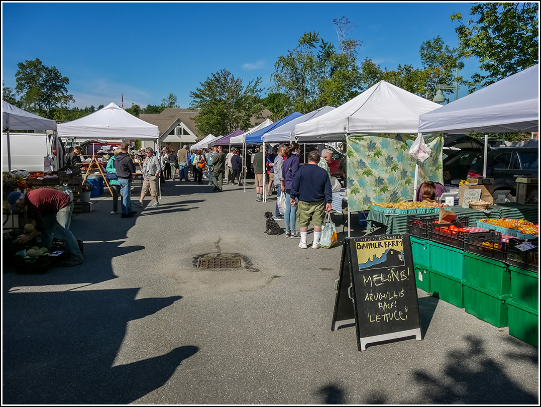
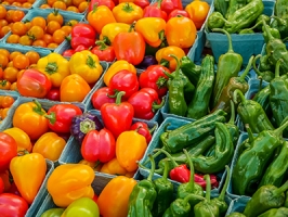
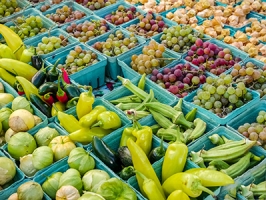
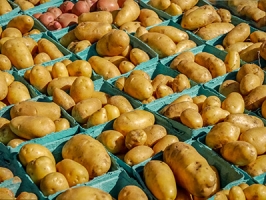
The farmers market was a delight, as always, with fresh fruits and vegetables overflowing from one stand to the next, sausages, and artisan cheeses. I just had to buy one tub of goat cheese from Sunset Acres Farm. We sampled a few others and ultimately bought a hard cheese from Fuzzy Udder, too. I was disappointed to see that Yellow Birch Farm didn’t have a stand at the market today! If they come back next week, I’ll buy some of my favorite fig and Kalamata olive cheese.
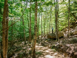
Our plan for the day was to keep our activities very simple and easy. We hiked from town to the Stratheden Path and then spent about thirty minutes poking around along the wooded east slope of Kebo looking for a set of mystery steps up the east side of Kebo that Tom St. Germain mentioned in his Ellsworth Public Library talk from two years ago.
Rich and I somehow came across the recording of this talk over the winter, and we were so excited by the prospect of finding these “mythical” steps! What made the challenge especially interesting is that Tom, who knows the island so well and literally wrote the book (or the first one, anyway) on the history of trail-building in the area, wasn’t able to find them! Our research turned up very little information, but a trail appears on the 1942 topo map that appears to be in approximately the right spot. We pulled some coordinates from that map, and that’s what we were using today as we searched the talus and wooded slope adjacent to the Stratheden Path.

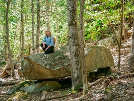
This is a difficult area to walk around in, with so much leaf-covered talus and fallen branches that are just waiting to grab an ankle, so it’s harder to thoroughly cover an area of appreciable size than when you can just walk around in open woods. Theoretically this overall chaos might make it a bit easier to spot signs of human presence in the form of cairns, steps or any disturbed ground or vegetation, but we had absolutely no luck today. It’s definitely worth searching again, maybe from the top of Kebo Mountain next time.
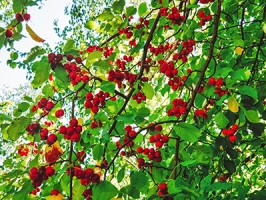
By this time we were feeling a bit tired and realizing that we probably wouldn’t find anything today, we continued on and hiked the rest of Stratheden to Sieur de Monts. We spent some time in the wild gardens just sitting and talking about lost and abandoned locations while watching a robin pecking at hawthorn berries. We eventually took the Sand Beach bus back to the village green. A quick walk (it was chilly by now!) brought us back to our room. We spent the rest of the afternoon researching trails and investigating benchmarks that we haven’t yet been able to find.
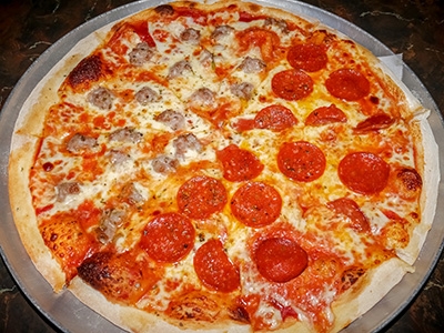
We couldn’t decide on what to do for supper; we were both in the mood for “anything but nothing in particular.” Rosalie’s sounded like a good option, as it always is, and we popped into a booth there just a little past 4:00pm. As we often do, we ordered two large Shipyard Export Ales, and a medium pizza with half pepperoni (pizzaroni!) and half sausage. It was awesome as usual!
We were both tired and chilled and decided to come right back to the room, where watched some videos and we continued researching the benchmark, K 19, that we had been researching this afternoon and talking about at supper.
Some background: many years ago we had unsuccessfully searched for a USGS benchmark near the entrance to the Long Pond Carriage Road system. We were pretty new to survey mark hunting at the time, and I don’t think we even realized that we could pull decent coordinates for the USGS-only marks from the topo maps: we were working only from the description.
Today, as we were looking at the USGS topo map, we saw the “BM” in that location and realized that all those years ago, we were likely searching the wrong spot. The description says the mark is “95 ft. west of a private road,” which we assumed to be the road that is just southwest of the carriage road (now the road to the parking area), so we were looking to the west of that road. Instead, we should have been looking between that road and the carriage road—it is in fact the carriage road that is the private road referred to by the description.
This time we have pulled coordinates from the topo map, a strategy that has worked often for us, and we’d like to try again.