Our day began at 4:33am, at which point we decided we’d had enough rest to continue on our journey. Still in darkness, we joined the truckers and a few earlybird commuters on I-95. We were near Portland by the time a hint of daylight appeared in the sky. I made a comment that it looked like the perfect very-early-morning conditions for seeing a moose among the mists in a swamp, fishing for some swamp-grass for breakfast. Alas, we did not see a moose.
Our traditional first stop was L. L. Bean in Freeport, where we made an exchange, purchased a few items (Rich gave the shoe guy a lot of business today!) and posed for photos outside. Breakfast consisted of some lukewarm water and a lemon Tastykake pie split between us, which we ate while relaxing in some Polywood Adirondack chairs on the porch of one of the L. L. Bean buildings.

Speaking of traditions, we may be developing another one: a stop at Fort Point State Park. Reminiscent of last night’s adventures, our navigation system led us on a strange route from I-95 to Fort Point. Normally we would exit the highway at Augusta and take Route 3 and then Route 1 east toward Fort Point, which is just south of the town of Stockton Springs. We decided to try the navigation system’s suggested route, which was to exit I-95 at Gardiner and then, for some reason, follow narrow roads through towns up to Augusta, where we got on Route 3 as we would normally have done directly anyway. I think this route cost us a bit of time and still makes no sense to me. We weren’t attempting to avoid the I-95 toll that would have been incurred past Gardiner.
Our return to Fort Point
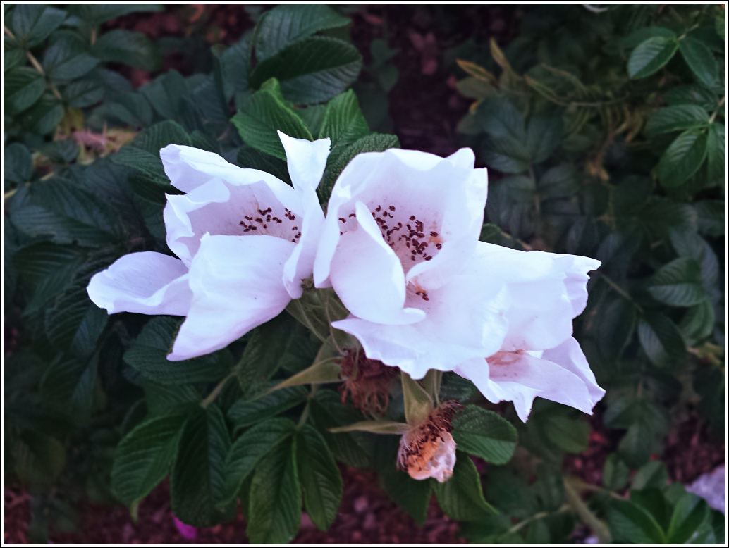
Our third visit to Fort Point had a very specific purpose: to try to locate TIDAL 30 STA 30 (PE0381), which we had searched for unsuccessfully in the past. The datasheet description isn’t helpful, mainly because it bases its measurements on an old trail—no evidence of which still exists—to the lighthouse. But I happened to notice that a geocacher had logged PE0382, the mark on the boulder that we found last year, and I had to take a closer look at his log. It turns out that judging by his photo of the disk he had not found PE0382, but he had found PE0381! He had provided coordinates, so we put the mark on our list of possibilities for this year.
The tide was coming in, but the beach was still wide enough for us to walk on. We walked a few hundred yards, hopping from rock to rock, through buggy grass along the shoreline. As we approached the coordinates, we came to a large boulder. We could see a familiar round shape in the top of the boulder. Sure enough, it was TIDAL 30 STA 30! We were within 45-50 feet of the geocacher’s coordinates; I’m thankful that they were reliable enough to lead us right to the area. I documented the mark and we headed back, having experienced enough bug bites for one morning.
Near a small path from the grass to the beach is an old granite monument with US carved on the face and what appears to be a drill hole in the top. We have no idea what this is, and weren’t able to find anything about it online after the first time we noticed it, two years ago. Perhaps it was connected to the point’s Fort Pownall.
Pigging out at the Bagaduce Lunch!
It’s a bit out of the way, but the Bagaduce Lunch is always worth the detour. This year it really must have been worth it! We dealt with filthy areas of road construction (more like destruction) (new car, remember?!), a nav system without the Bagaduce Lunch as a waypoint and no way to enter a waypoint, and dying batteries on the GPS unit that did have the Bagaduce Lunch stored as a waypoint. Nevertheless, we made our way there and were only the 8th customers of the day. (We were also the 14th because Rich went back after our first “course” for something else.)
We started out with the Bagaduce’s famous haddock “burger,” a foot-long piece of delicate fried haddock on a regular-sized hamburger bun, which is as ridiculously awesome as it sounds, a large lobster roll, and cole slaw. We must have been really hungry because once we had finished half of this order, Rich proposed trying a crab roll. That was fantastic too! It had a light crabby flavor and a fine shredded texture. The day was cloudy but still warm and we enjoyed the peace and quiet of the riverside lawn. The lunch crowds didn’t begin to arrive until we were done eating and ready to leave.
Sad to say that we didn’t get to stop at Sunset Acres farm this year to see the goats. We were missing them, as well as the cheese, but the skies were threatening rain most of the day (it didn’t happen) and we were very tired. We’ll pick up some cheese at the farmer’s market on Sunday, and stop next year to see the goats.
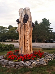
Home away from home, in Bar Harbor
The lady at the Bagaduce Lunch had confirmed that we would be fine taking Route 15 through Blue Hill without running into any more roadwork, and she was correct. The remainder of our drive was uneventful. We stopped at the Acadia visitors center along the way to Bar Harbor. The parking lot was busier than we’ve ever seen it! We confirmed that there are indeed 52 steps to the top, Rich got his park entry pass, and we got unjustifiably excited about what appeared to be a new edition of “A Walk in the Park” but was actually just a 2015 reprint of the tenth edition.
We were in our room (Room #4 this year instead of our usual #3, which wasn’t available) by 2:00pm and napped until after 4:00. Then it was time for Rosalie’s … our favorite pizza place that we’ve been dreaming about all year. We had the usual medium plain pizza and two Shipyard ales.
This afternoon out of the blue I had received a Google Now “card” on my phone, presumably based on my location, that pointed to a blog post about, of all things, the former radio tower/lookout station on Otter Point. Two years ago we went looking for this tower, and we found what little remains of it. We knew about it only because it had been a NGS landmark station. We weren’t able to find any other information about it. Then today we received this very well written blog post with photos and even a few references to resources we should check out! So cool. Rich read the page to me as I was finishing my beer at Rosalies.
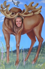
We wandered around town for just a few minutes after eating. We found the big decorative moose head in the “Made in the USA” shop. It’s still for sale, and it really is beautiful. If I had a spare $650, I’d buy it. We couldn’t resist stopping at MDI ice cream for peach ice cream (Rich) and peach sorbet (me). Both were like summer on a cone, ha-ha!
To complete our historical investigations for this evening, we looked at the small fountain at the corner of the village green in a new light, now aware that it was a water trough for horses, one of several stone troughs on the island. We also noticed VIA 1905 carved into the side of the stone bench at the military memorial, and the initials MEF carved into another bench. More investigations for another day!
A quick trip to Hannaford for beverages ended the day’s activities. Time for bed at 8:25!
