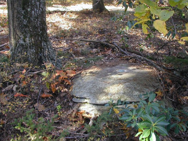
MEHOOPANY RM 2 and the fire tower at the site have an interesting history. Are they one and the same? Who knows! We are assuming that the center point of the top of the fire tower was designated RM 2 when the reference mark disk beneath the tower was destroyed, but the datasheets aren’t perfectly clear.

We spent a good deal of time trying to sort out the details of RM 2 and the mysterious “RM 1 RESET” which appears on the official datasheet’s box score but is nowhere mentioned in the recovery text. We measured and searched at the given distance and bearing but found nothing. We later submitted our question to Dave Doyle at NGS, who replied with the following:
RM 1 Reset comes from data submitted to Coast & Geodetic Survey (now NGS) in 1968 as part of a mapping project. Unfortunately, the 1968 recovery note they submitted did not specifically describe RM 1, but the distance they provided was sufficiently different from existing measurements to force us to preserve the value and ‘create’ a reset RM. Unfortunately, these data were submitted to us about 15 years after the project was completed, so there was no ability to go back to the original field team for clarification.
After reviewing our documentation, including photographs, NGS marked this station officially Destroyed in the database.
